SAFE Notes: A Modern Funding Tool for Smart Startup Growth
"The Business Case Our team’s take: SAFE is an underutilized strategic lever in AEC and infrastructure because it operationalizes data interoperability at..."
Ever watched a million-dollar bid hinge on a misaligned coordinate system?
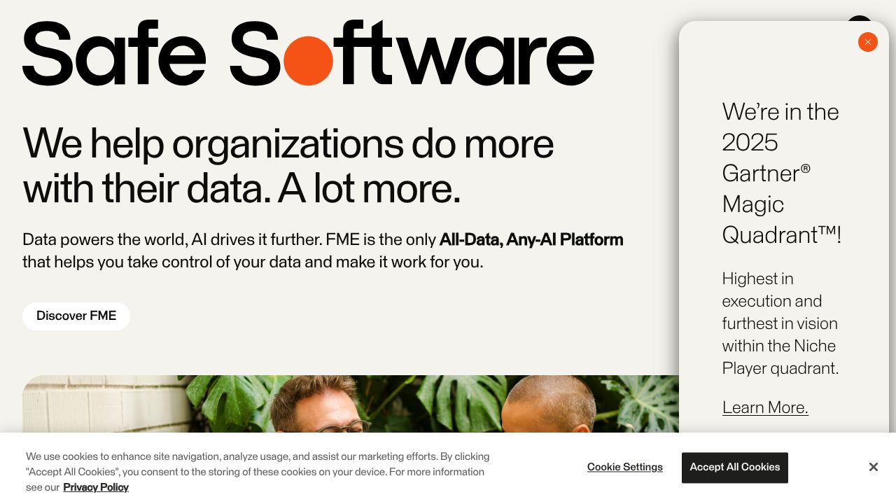
SAFE (FME by Safe Software) is a spatial data integration platform that automates transformation, conversion, and validation across CAD, BIM, and GIS. It matters because it turns fragmented project data into a unified, automated pipeline—cutting rework, accelerating delivery, and enabling site automation and digital twin readiness without heavy code. Bottom line: if your business runs on geospatial truth, SAFE becomes a core system of record that helps you build your stack and stand out. Learn more at https://www.safe.com.
The Business Case
Our team’s take: SAFE is an underutilized strategic lever in AEC and infrastructure because it operationalizes data interoperability at scale. Leaders tell us their real risk isn’t a single tool—it’s the seams between tools where data is duplicated, distorted, or delayed. SAFE addresses that by automating crosswalks between CAD, BIM, and GIS, aligning coordinate systems, and validating geometry/topology before issues hit the field. This translates into fewer RFIs from data misinterpretation, faster model-to-field cycles, and higher confidence in site automation workflows.
Contrarian take from our community feedback: in AEC, integration is the product. Owning the spatial ETL layer becomes a competitive moat—enabling you to promise cross-platform deliverables, meet client-specific data standards, and execute digital twins without vendor lock-in. With unmatched format support (500+), SAFE reduces friction across your stack so you can spend more on design and delivery and less on firefighting data. For executive teams, that’s a measurable edge in win rates, margin protection, and brand credibility.
Key Strategic Benefits
- •
Operational Efficiency: SAFE’s no-code automation replaces manual conversions and one-off scripts with repeatable, auditable workflows. Our team has seen this shorten handoffs between design, VDC, GIS, and field teams and reduce error-prone rework tied to schema and coordinate mismatches.
- •
Cost Impact: By validating and transforming data upstream, you prevent costly downstream clashes and schedule slips. Expect reduced reliance on bespoke integrations and fewer hours burned reconciling file formats—freeing specialists to focus on analysis, not plumbing.
- •
Scalability: SAFE scales from desktop authoring to server-level orchestration, supporting multi-project portfolios and evolving client standards. As your stack grows—new survey methods, drones, or as-builts—its format breadth future-proofs your data layer.
- •
Risk Factors: Pricing is not publicly transparent; plan for a procurement cycle and TCO assessment, including training. Automation amplifies both quality and error—governance, validation rules, and change control are essential to avoid propagating bad data at speed.
Implementation Considerations
We recommend starting with a time-boxed pilot on a high-friction workflow (e.g., CAD-to-GIS conversion with validation, BIM-to-field export for machine control). Resource-wise, pair a GIS specialist or data engineer with a BIM/VDC lead to co-author initial workspaces; designate a product owner from operations to lock requirements and success criteria. Change management matters: train a small “author” cohort to maintain workflows, and a broader “consumer” group to run automations and interpret outputs.
Integration-wise, inventory your source systems (CDEs, model repositories, survey data, asset registers) and define authentication, scheduling, and data lineage needs up front. Establish data quality gates—schema checks, coordinate system enforcement, geometry validation—and instrument dashboards to track throughput, error rates, and cycle time. Finally, align SAFE within your broader stack governance so it complements—not competes with—project management tools, cloud storage, and analytics layers.
Competitive Landscape
While Assemble Systems excels at BIM-centric model conditioning and construction insights, SAFE is better suited for multi-domain spatial ETL where CAD, BIM, and GIS must interoperate across 500+ formats. If your priority is extracting quantities and coordinating BIM within a controlled model environment, Assemble Systems may be simpler to deploy and train on.
While Unearth shines as a field-first geospatial platform for maps and asset management, SAFE is better for backend data plumbing—standardizing layers, validating geometry, and feeding curated datasets into tools like Unearth or your GIS. And while Capsule offers strong CRM and AI analytics for sales data, it’s not a spatial integration engine; choose Capsule if go-to-market pipeline visibility is your immediate bottleneck, and SAFE if spatial data interoperability is the constraint.
Alternative Picks for specific needs: Assemble Systems for BIM coordination, Unearth for field mapping, and SAFE for enterprise-grade spatial automation.
Recommendation
Our team’s call: if spatial data complexity is touching your margins or timelines, prioritize SAFE. Action plan:
- •Stand up a pilot on one high-impact workflow with clear KPIs (error rate, cycle time, rework).
- •Run a vendor-supported demo with real project data and governance requirements.
- •Benchmark against Assemble Systems and Unearth for usability and time-to-value.
- •Staff a small center of excellence to operationalize successful pipelines. Build your stack. Stand out—with spatial integration as a strategic advantage.
Ready to order?
PLACE ORDER →